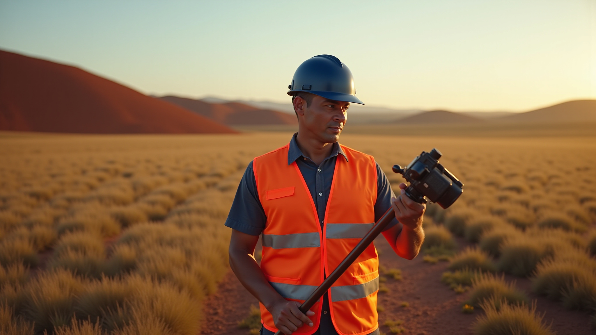
Our Services
Built for construction, industrial, and engineering work where accuracy matters.
Subsurface Utility Locating
Ground penetrating radar and electromagnetic locating used to detect, mark and map underground utilities before excavation or construction.
Surveying & GPS Integration
Survey-grade GNSS data collection integrated with utility locating to provide accurate, real-world positioning for mapping and design.
3D Laser Scanning
High-density laser scanning to capture above-ground structures, equipment, and site conditions for planning, coordination, and design.
Deliverables & Site Data
Utility maps, KMZ files, AutoCAD-ready data delivered in formats that support engineering, construction and site planning.
Built for Real-World Conditions
Subsurface conditions directly impact how projects are planned and executed. Accurate locating and coordinated data reduce risk and help teams avoid costly mistakes.
Technology & Workflow
Our workflow combines multiple technologies to improve accuracy and confidence in the data. We utilize GPR for subsurface imaging, EM locators for tracing conductive utilities, and GNSS survey equipment to tie all findings to real-world coordinates. Data is processed using advanced software and delivered in formats that can be directly used in AutoCAD and other design platforms. This integrated approach allows us to move beyond simple locating and provide meaningful, usable data.

Containment area with both above ground laser scanning and below ground GPR data
FULL-SITE 3D REALITY CAPTURE
In addition to subsurface locating, we offer above-ground 3D laser scanning to capture structures, equipment, and existing site conditions. By combining laser scan data with GNSS survey and GPR results, we are able to provide a fully coordinated dataset that includes below-ground utilities, surface conditions, and above-ground structures. This creates a complete picture of the site, improving design accuracy and reducing the risk of conflicts during construction.
DELIVERABLE OPTIONS
We tailor our deliverables to fit the needs of each project. For fast-paced field work, we can provide on-site utility marking with a summary of findings. For more detailed applications, we provide digital maps, KMZ files for upload into Google Earth, and AutoCAD drawings showing utility alignments, survey control, and scan extents. Our goal is to deliver information in a format that is immediately useful for construction, maintenance, or engineering design.

Underground obstruction plan for client site
Subsurface utility locating is inherently interpretive, and results can vary based on site conditions. GPR performance is influenced by soil type, moisture, and subsurface materials, while EM locating requires conductive or traceable utilities. Not all utilities can be detected with complete certainty, and depth estimates should be considered approximate. We work to provide the most accurate information possible while maintaining transparency about these limitations.